High resolution data for best perspectives
Build on reality - not castles in the air.
Geospatial and factual data and cyclically updated aerial photographs
We offer you the combination of current geo and factual data.
Together with our partner Hexagon, we offer customized solutions for all industries that rely on geodata. The data basis is Hexagon's HxGN Content Program, which is unique in Europe.
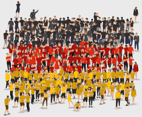
The intelligent combination of cyclically updated aerial imagery, matching elevation models and socio-economic data enables analyses and forecasts that take you and your company into the future.
Hexagon aerial view
Many types of features can be extracted from the area-wide cloud-free aerial images, whether they are buildings, roads, solar roofs, children's playgrounds or swimming pools. AI methodology and machine learning techniques make it possible to derive up-to-date information for your individual questions.
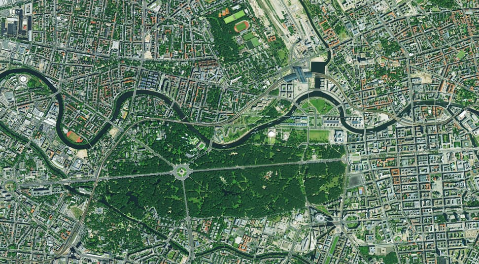
Use the underlying orthophotos directly for your own applications. Up-to-date, Europe-wide geodata tailored to customer requirements - exactly what you need. The data offers you a first insight for your further planning project.
Spatial analyses - planning in 3D
3D models are used to support radio network and urban planning, environmental protection, traffic and infrastructure planning, visibility analysis or solar potential analysis.
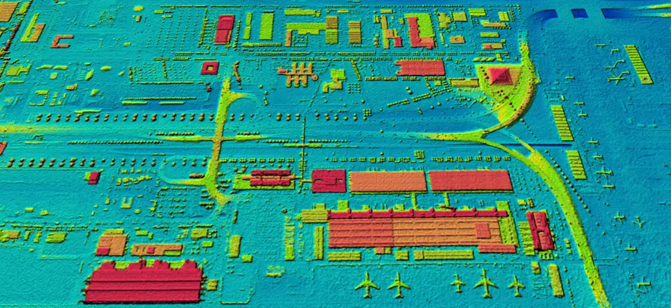
With information on floor numbers, living space in square meters, and ranges of radio waves and antennas, additional information is also available - nationwide and across borders.
Flood modeling and risk assessment
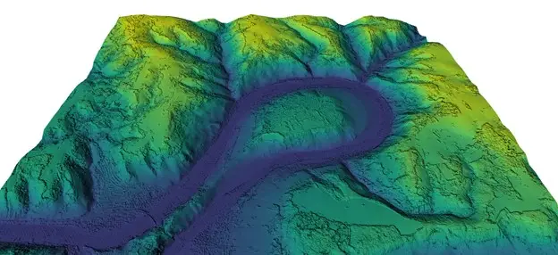
Hydrological modeling as a basis for flood risk assessment allows to localize and correctly classify existing risks due to floods. Supplement this information with current cadastral data and population as well as household figures, and you get a data basis that enables extended knowledge in the insurance industry and planning authorities, among others.
Just like orthophotos, terrain and surface models are available in consistent quality over a wide area - and across borders - across large parts of Europe.
The HxGN Content Program
The HxGN Content Program is Hexagon's aerial imagery data program and offers the largest collection of aerial imagery and digital surface models of the United States, Europe and parts of Canada. The data is orthorectified, accurate, and available in a variety of resolutions. The exceptionally homogeneous, cross-country data provides an ideal training dataset for machine learning and AI algorithms.
For more information: hxgncontent.com | hexagon.com

