Category: GIS

House facade heating requirements

Efficient heat supply for residential buildings

Industry is the largest energy consumer in Germany, but private households are right behind. They use the majority of their energy to heat apartments and houses. Despite improved insulation in recent decades, energy demand continues to rise as living space increases.

Efficient energy planning can be supported by the Nexiga heat demand map, which shows the heat demand in detail down to street level.

Read more "
Location Intelligence Services Visual

Location intelligence services as a cloud solution

Everything to do with Building, has been available from Nexiga for four decades. Since the 1980s, the Building has been the subject of area-specific investigations. It is the factual basis for the data and analysis world and has already delivered successful results to many planning and evaluations.

Read more "

Geocoding or geocoding?

The completeness of the underlying reference file and the positional accuracy of the coordinates used are decisive for the geocoding quality. The "spelling" of addresses is therefore an important component

Read more "

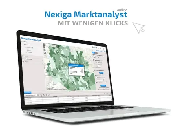
Nexiga Marktanalyst Pro builds on ArcGIS Pro

Nexiga Market Analyst Pro is the professional desktop solution for spatial GIS applications for perfect processing of geomarketing or location intelligence questions, (geo) data with a geographic information system. The basic software ArcMap (ArcGIS Desktop

Read more "

Connecting Worlds - Connecting Digital Twin.

Under this motto the Esri Conference took place simultaneously in three cities this year. Numerous GIS users and interested people met in Bonn, Zurich and Vienna to exchange information about the innovations of the ArcGIS technology. The digital twin played a major role in the event, which was divided into various "twin topic tracks" such as Governmental, Urban, Infrastructure, Environmental and Business.

Read more "

Esri UC 2022: The Mappiest Place on Earth

After more than two years of limited contact and virtual events, the Esri User Conference was finally held again in early July as a face-to-face event in California. More than 14,000 GIS users and Esri partners gathered in San Diego. The latest GIS trends and challenges of our time took place in direct exchange.

Read more "

Routing - set speeds flexibly

As a new feature, a speed profile can now be flexibly specified for the routing zone mode with "Transport means car". For this purpose, the average speeds for three road categories are variably set: City (within cities and towns), country roads (outside of towns) and highways.

Read more "

Location Intelligence today

At the Esri Conference 2021, everything revolves around the topic of Location Intelligence. Location intelligence is the extension of business intelligence to include the spatial dimension. Location Intelligence not only makes it possible to understand what the customer is doing and why. Above all, Location Intelligence makes it possible to understand where (potential) customers are located, where high potential and high sales opportunities are to be expected, or where optimal poster locations can be used for marketing and sales campaigns that are appropriate for the target group. These are just a few aspects of a wide range of services and applications.

Read more "