Location Twins for all business applications
Digital twins as images of the real world are becoming increasingly important for planning business processes and analyses. Spatial data models can be created and analyzed with the help of modern GIS technology. Accordingly, the motto of the German-speaking Esri user conference last week in Bonn was "Digital Twins" .
Nexiga was on site and presented the Market Analyst Pro as a business function extension for ArcGIS Pro. In addition, several showcases were based on Nexiga data and the Location Twin® was presented.

Esri Conference 2023, presentation Solution Stage: Jochen Wetzel (Nexiga) Stand team Nexiga from left: Norbert Stankus, Julia Volz, Dirk Lohoff
ArcGIS technology for "digital twins"
ArcGIS from our partner company Esri Inc. is the most comprehensive GIS technology on the market. For a "Digital Location Twin", all data with a spatial reference can be recorded and referenced with relevant data (also time-variable). The digitization, linking and analysis of this geodata is playing an increasingly important role for all business segments, infrastructure projects, municipalities and authorities.
Examples include the planning and expansion of fiber optic networks, where a large number of parameters must be taken into account, such as environmental protection requirements, current construction projects, settlement structures and road routes, existing network infrastructure and even possible groundwater protection.
All of this data has a spatial reference and can be modeled and simulated with ArcGIS. It is also important that data can be exchanged between digital twins, regardless of whether the object already exists in the real world or will only be created in the future.
Nexiga Market Analyst Pro for geoanalysis
At the Esri user conference, the Nexiga Market Analyst Pro was also presented in short format - the desktop solution for spatial issues on the basis of ArcGIS Prothe powerful desktop software component from Esri Inc. Special user-friendly functions as a supplement to the basic software help with spatial analyses - whether for location planning or territory planning. location planning or area planninge.g. in the context of expansion planning.
The tools help, for example, with the search for attractive locations and the localization of target groupslucrative sales regions or expandable white spot areas. For catchment areas, the customer and sales potential can be determined for freely defined distance zones. The concept of the "digital location twin" plays an important role here.
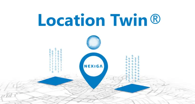
Nexiga Location Twin®
A special application of the Digital Twin is the Location Twin® from Nexiga. The concept behind the digital twin location is a digital model of a physical or planned location (such as a shopping center) or an area (such as a factory site, neighborhood area or catchment area), which reproduces the real conditions with all relevant data for analyses.
It uses a variety of data sources. In addition to geodata and market data, as available from Nexiga, external data from municipalities (such as municipal planning data), IoT sensors, infrastructure data, weather data and much more can be taken into account to create a comprehensive picture of a particular area. This model can also optionally be updated in real time, enabling continuous monitoring and analysis.
Use in municipal heat planning
- Efficiency analysis and optimization: A Location Twin® can help to analyse and improve the efficiency of the heat supply by providing accurate data on energy consumption and infrastructure performance. This allows inefficient areas of the system to be identified and rectified.
- Planning and simulation: A Location Twin® can be used to simulate different scenarios in order to assess the impact of changes to the heat supply infrastructure. This can help to make the best decisions regarding the siting of new infrastructure, the optimization of heating networks and the selection of energy sources.
- Prediction and adaptation: A Location Twin® can help predict future heating requirements and adapt to changing conditions. By analyzing trends and taking into account factors such as population growth and climate change, heat planning can be proactively designed to meet future challenges.
- Risk management: A Location Twin® can also help to identify and manage risks, for example by identifying areas prone to flooding or other natural disasters that could affect the heating infrastructure.