
Events
Find out about current events from our Building and industry-specific trade shows. Contact us for more information or make an appointment directly on site with one of our experts.

The fiberdays digital and fiber optic trade fair is the leading trade fair for fiber optic expansion in the fields of digitization, digital infrastructure, and fiber optic expansion. The annual gathering of over 200 exhibitors from the fiber optics and digital industry is therefore the ideal place to exchange innovations and services related to the future-proof topic of "fiber optics." New this year at Messe Frankfurt – Booth 3.1 B29.

Visit us at E-world energy & water 2026 in Essen, Hall 6 | B6111: Together with Esri, we will be demonstrating how modern GIS technology, precise location data, and data-as-a-service are advancing the energy transition, heat planning, and e-mobility. Discover innovative solutions such as SolarMonitor and the Digital Energy Certificate – and experience live how data-based insights make decisions smarter.

The Esri Conference 2025 offers the latest innovations in mapping, spatial analytics and data science, GeoAI, real-time visualization and analytics, 3D GIS and much more. An extensive network of knowledge and innovations that will make your processes more efficient and powerful in all application areas awaits you. Take the time for a personal exchange. Visit us at our stand!
- 26.11. and 27.11.2025
- 9 am - 6 pm
- World Conference Center Bonn

At ene't connect from November 5 to 6, 2025, professionals from the energy industry will discuss exciting ideas and market trends. Topics include peer-to-peer electricity trading in communities, smart grids and dynamic electricity tariffs. With the Solar Monitor, Nexiga is bringing practical tools that make it possible to move from strategy to implementation.
- 05.11.-06.11.2025
- 9 am - 6 pm
- Mönchengladbach/Borussia Park
- Talk to us about a discount!
- Energy

The VKU Municipal Utilities Congress is taking place for the 26th time this year. A wide range of presentations will cover the latest topics in the industry. Municipal heat planning calls for solutions. Nexiga supports the energy market with comprehensive data analysis. We are delighted to be exhibiting at the VKU Stadtwerkekongress again this year. A must-attend event for all decision-makers from municipal utilities and municipal energy suppliers.

Exciting presentations, intensive exchange and convivial networking around the barbecue - the concept is tried and tested. Together with renowned partners, we cordially invite you to the 6th edition of our renowned specialist event - the 6th Telecommunications Competence Talk - where top-class experts will provide insights into the latest trends, tools and technologies relating to geodata, AI and smart network planning.

The efficiency of the heat supply is determined by the energy consumption and the performance of the infrastructure. At the 2nd Energy Competence Talk, experts from the field will present current projects, tools and strategies for municipal heat planning. The combination of presentations and subsequent barbecue seminar make this event an exclusive Nexiga event of a special kind.
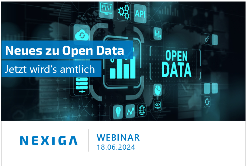
Open data stands for free access to data. But what does this mean in concrete terms? What advantages does it offer and what challenges are there? We will discuss whether and how this data can be seamlessly integrated into your workflow, shed light on update cycles, coordination of deadlines and the availability of homogeneous data sets.
The webinar will show you what you need to bear in mind when planning and using open data.
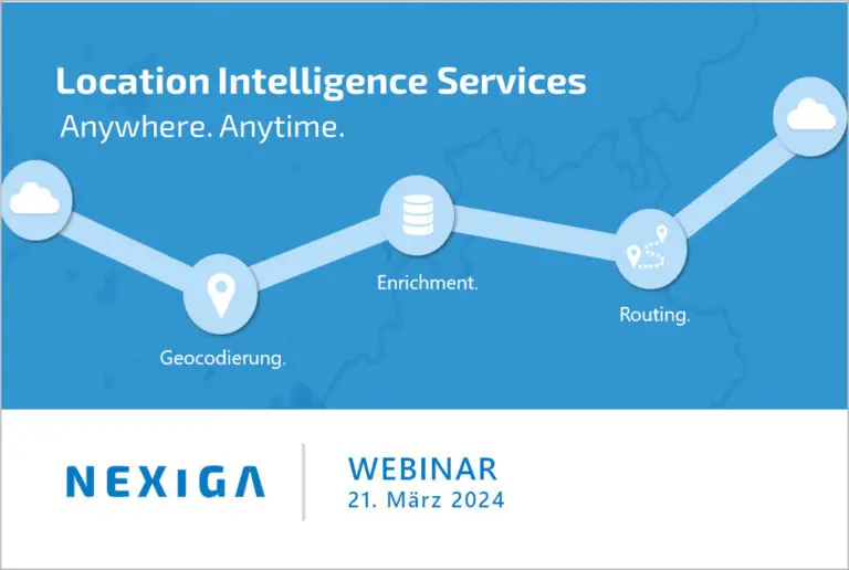
Determine location-based data faster in future. Enrich your data with profitable information - with just one single solution. The webinar shows in just a few steps how the effective planning and evaluation of target groups, locations and real estate as well as sales and expansion areas becomes more efficient, more powerful and easier.
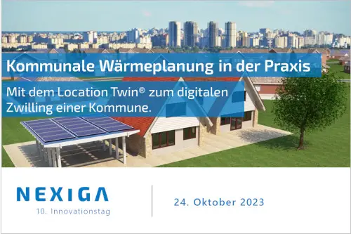
The efficiency of the heat supply is determined by the energy consumption and the performance of the infrastructure. Geodata, building data and much more provide a comprehensive picture of a specific area and ensure that planning and simulations can be carried out to a realistic degree. At our 10th Innovation Day, experts from the field will present current projects, tools and strategies for municipal heat planning.
- October 24, 2023
- 9.30 a.m.
- New Kanzlerplatz Rooftop Lounge in Bonn
- free of charge
- Real Estate
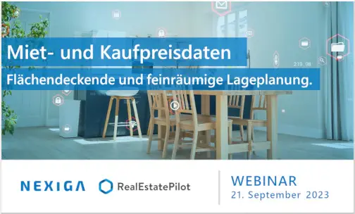
With the intelligent use of data, processes can be automated, strategies created, decisions made and planning focused. In this webinar, together with our partner Real Estate Pilot, we will show you how Germany-wide rental and purchase price data can be used for location planning on a detailed and comprehensive basis.
Knowledge, networking and best practices around ArcGIS. International audiences and stakeholders from around the world are coming to Europe for the first time this year to explore how GIS can be used to create resilient and sustainable infrastructure. Visit us at booth 103! We are looking forward to exciting conversations.
- 17. - 19.04.2023
- 9 am - 6 pm
- Frankfurt
The Market Analyst Pro offers you spatial GIS applications as a desktop solution. It is the connection of (geo) data and geo information system. The basis: ArcGIS Pro - the desktop GIS of our technology partner Esri. We show you profitable additional applications that make your Location Intelligene questions more understandable.
- 28.02.23
- 11:00
- Online
Refine your location-based visitor frequency analyses with precise information about physical pedestrian traffic. The movement data from apps on mobile devices is both key and basis. With the combination of market and geodata, the environment of a location can be sharpened with a view to its population, companies or, for example, competitors.
- 20.10.2022
- 11:00
- Online