
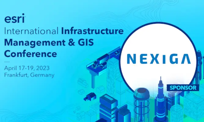
Esri International Infrastructure Management & GIS Conference
For the first time, IMGIS will take place in Europe and thus also for the first time in Germany. The best opportunity to exchange ideas with the international community. We are especially pleased to be there as a sponsor and Esri Gold Partner.
Frankfurt am Main is the meeting place. The event is addressed to an international audience and deals with how GIS can be used to create a resilient and sustainable infrastructure. Especially the sectors water, electricity and gas, district heating and cooling, telecommunications, transport and architecture, engineering and construction (AEC) are in the infrastructural focus.
Partners and users from these specialist areas are primarily concerned with spatial issues relating to infrastructure organization. In the three-day conference it is therefore possible to get to know GIS products and tools better and to exchange information about spatial data solutions among each other. The exchange of experiences between users with best practices and tips from real life with GIS is the goal. To get the best out of Location Intelligence resources is one of the main challenges.
As an Esri Gold Partner, we are on-site for you. Learn more about our partnership and your benefits here.

"Without a systematic and data-based approach, the development and expansion of this infrastructure cannot be achieved. One challenge in setting up charging infrastructure lies in choosing the right locations," knows Norbert Stankus. Director Energy & E-Mobility at the location intelligence specialist Nexiga
Nexiga lecture
Data Energy
"Location intelligence as a driver for charging infrastructure"
Where the charging current will be needed in the future to charge the 15 million e-cars needs to be answered as quickly as possible. To ensure a secure supply, the following questions must be answered: How and where should the e-vehicles be charged in the future? According to which criteria should the charging infrastructure be built? What planning data is required for planning the locations? In which parts of the city and neighborhoods will private charging increase and lead to a critical load on the grid - Where is there a risk of blackouts due to overloading of the power grid?
In order to be able to model corresponding forecasts, analysis methods for identifying an e-driver profile are just as important as knowing where there are suitable parking areas. A vehicle that is being charged does not necessarily park in a public parking area, but mostly in one of the more than 13 million private garages in this country. Here, data can be used to make forecasts as to where charging will increase in the future and where supply bottlenecks may arise.
In this presentation, Nexiga will show not only the appropriate data needed for a balanced charging infrastructure, but also the appropriate solution based on Esri technology to provide the analyses - location intelligence as a driver of the charging infrastructure.
Arrange a personal meeting?
Exchange with us about the current infrastructure topics. Our Esri & Location Intelligence experts look forward to meeting you.
Visit us at booth 103!

Norbert Stankus
Director Energy & E-Mobility
Nexiga GmbH
stankus@nexiga.com |T +49 228 8496-208

Julia Volz
Strategic Partnership Manager
Nexiga GmbH
volz@nexiga.com |T +49 228 8496-203