Today, location intelligence is far more than just traditional location analysis. In an increasingly data-driven world, the ability to intelligently link spatial information is key to gaining a competitive edge, improving efficiency, and driving growth.
For over 40 years, Nexiga has been synonymous with this very expertise: making markets visible—based on high-quality data, powerful systems, and robust analytical services.
Our society is aging, a fact that cannot be stopped. Almost every generation relies on digital services and solutions for many everyday tasks, be it in human-to-machine communication or convenient online services.
Connecting with other people requires more than just technology . Interaction , purchasing decisions , and workflows are bringing new, convenient services into play.
Quickly locating the nearest grocery store or bus stop with your smartphone. Tracking running routes, sharing them with friends, and voluntarily revealing your current "live location"—this has become the norm. Location information is more important than ever, and not just in our private lives.
For companies and organizations in particular, the question of "where..." is and remains crucial for planning and analysis.
Spatial relationships and correlations are revealed using maps and location applications, revealing aspects that would otherwise remain hidden. Understanding spatial data gives your company a competitive edge in the market, because data often contains more than meets the eye.
Know more. Achieve more!
With over 500 additional data attributes and approximately 23 million building records, you can enrich and enhance your own company data. Why not take a look at our database?
Identifying and locating potential customers has become part of everyday business. Companies such as DPD, Hermes, and dennree have been able to conduct accurate data analyses, site planning, and territory planning using our data and Nexiga’s technology.
Read more about the application of location intelligence in our use cases.
- Where is the best location for a new shop?
- Where can I find target groups with purchasing power?
- Where is the optimal infrastructure for my product or service?
- Where can sales territories be optimally defined?
- Where are new markets emerging or supply gaps appearing?
- Where is the greatest revenue potential with short travel times?
- Where can I best expand my networks, branches, or services?
- Where should I open new locations—and where should I avoid opening them? and much more
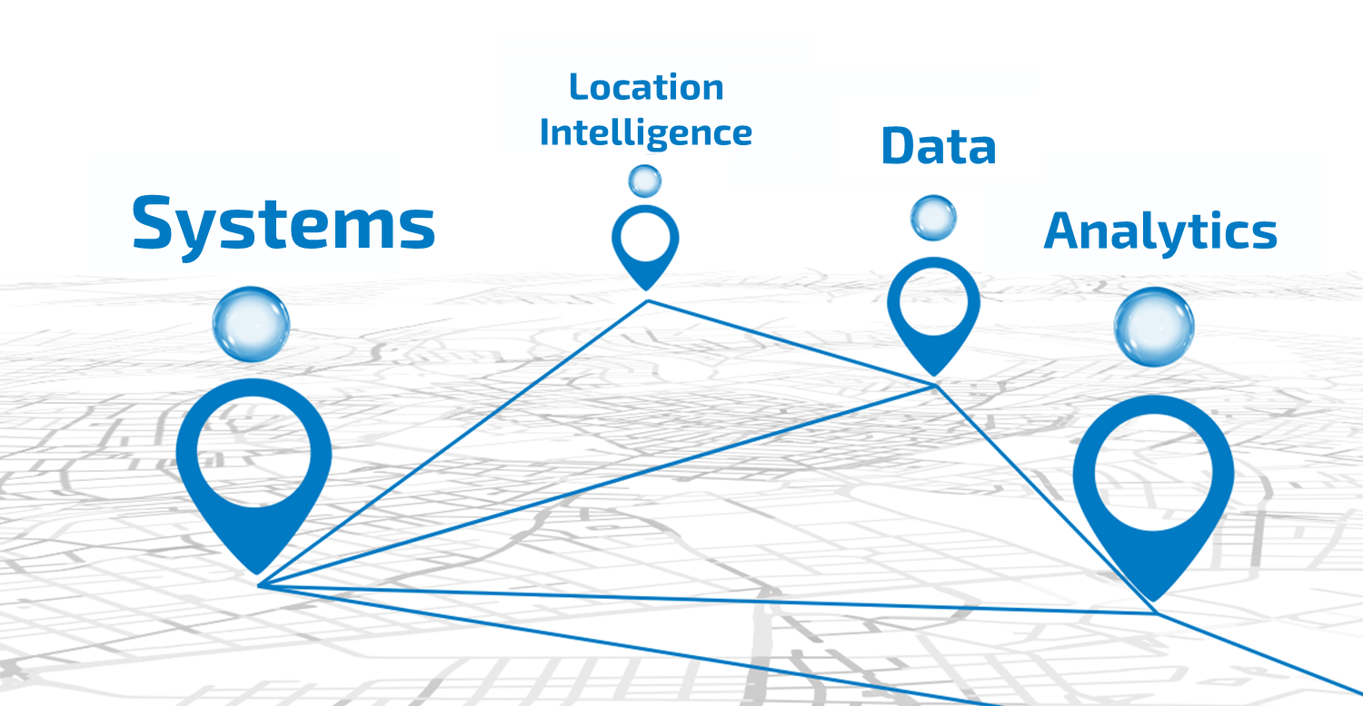
Location Intelligence means: Data. Systems. Analytics.
“Data is the new oil”—a metaphor coined by Clive Humby in 2006. It’s a statement that remains relevant today. After all, this statement still holds true not only in terms of value but also in terms of the processing required.
To get the most out of your data, it must be collected and processed. To systematically analyze ever-increasing volumes of data, companies usebusiness intelligence(BI)solutions. These solutions enable companies to consolidate, analyze, and evaluate their data to generate new insights into business processes and customer behavior. Enriched with spatial information, this data then forms the basis for location intelligence. This is just one aspect of a diverse range of services and applications that also addresses, among other things, the protection of resources and habitats.
Location Intelligence (LI) describes the enrichment, visualization and analysis of location data in order to view knowledge and findings about markets and (potential) customers and to illustrate them with a suitable geo-information system.
In practice, for us this means linking, analysing and visualizing millions of geodata with millions of market data in a meaningful and intelligent way for our customers. Today, the immense variety of data from a wide range of sources presents every company - in almost all economic sectors - with the challenge of meaningful data selection.
Location intelligence is the extension of business intelligence to include the spatial dimension. Location intelligence not only makes it possible to understand what the customer does and why. Above all, location intelligence makes it possible to understand where (potential) customers are located, where high potential and high sales opportunities are to be expected, or to use optimal poster locations for marketing and sales campaigns in line with target groups.
-
GIS in real time
Faster response times to dynamically developing markets with temporal, spatial and environmental factors are particularly important. The pandemic has shown us this.
Creating spatial analyses with digitally fed data from all over the world using GIS systems offers limitless insights into world events. Live data from mobile devices (smartphones) and interactions on social media channels provide valuable insights for companies, such as mobile tracking.
-
Individual SaaS solutions
The popularity and widespread use of web-like, user-friendly interfaces, along with the rise of mobile work, give employees the opportunity to connect with one another from anywhere. As a result, more and more users are embracing web-based work environments because they are familiar with how they function and operate, and they appreciate their ease of use.
SaaS as cloud solutions for location intelligence applications such as geocoding, enrichment, visualization or geo-analysis are becoming increasingly popular, as it makes working from "anywhere" even more attractive.
Location Intelligence: From Data to Decisions
Trends that are no longer just "online kills offline" or hybrid commerce "stationary retail on the way to online business" are shaping the industry as they affect entire cities and communities. Not only the last mile, but also the "last meters" before the sale are becoming (even) more important: how and where products are offered has changed. Who picks them up where and how has also changed. Sustainability in delivery, such as CO2-free delivery in city centers, is under the spotlight, especially in online retail.
Many companies are being called upon to adapt their structures and rethinktheir supply chains andinfrastructure. Let’s take theneighborhood initiative“Support Your Locals” as an example. Customer expectations and attitudes are changing—or have already changed. The PoS (Point of Sale) is increasingly becoming a“Point of Delight,” meaning the immediate joy experienced at the point of purchase itself. But solidarity and loyalty are also playing a more important role for consumers once again.
Companies are being urged to equip their organizations with agility and resilience so that they can withstand the new circumstances - with or without a mask. Of course, it is primarily brick-and-mortar retailers that need to act to stop their downward spiral. But whether B2C or B2B, the transitions between private and business are becoming more fluid, at least in some areas.
-
Data Analytics
Speed and efficiency as the basis for direct insights to make decisions immediately - without a doubt a permanent endeavor in the world of data. After all, the ability to move faster and be agile gives companies a decisive competitive edge with customers.
Geodata and market data support the implementation of spatial analyses on demand via web-based platforms (e.g. ArcGIS Marketplace). Tailor-made GIS systems with individual functions for analyzing and processing this data are the necessary tools for this.
-
AI in the area of data generation
Artificial intelligence is used in the generation and interpretation of data . The creation of predictive models in various fields such as machine vision, robotics, automotive development, and natural language processing has long been commonplace. This includes recognizing complex patterns , synthesizing information , drawing conclusions , and generating forecasts .
This is usually done on the basis of historical data. You could say that the future is largely determined by the past, which is a certain factor of uncertainty. This makes it all the more important to rely on valid and up-to-date data for precise forecasts (frequencies at a location).
Holistic approach
Nexiga combines data, systems, and analytics into both integrated and standalone solutions—rather than rigid applications.
Depth and quality of the data
With one of Germany’s most comprehensive microgeographic databases, Nexiga enables analyses down to the smallest spatial units ( e.g., Building).
Technological Excellence
Cloud-native solutions, open interfaces, and partnerships (e.g., with Esri, the global market leader) ensure future-proof, scalable systems.
Industry-specific expertise
Whether it’s energy, retail, telecommunications, or real estate—Nexiga is committed to always finding customized solutions for complex requirements.
Practicality & Consulting
In addition to data and technology, Nexiga offers expert, personalized consulting for business-relevant analyses—delivering results that can be implemented immediately.